 1 miesiąc temu
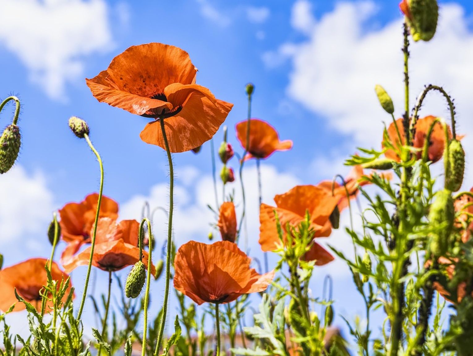
Britain is bracing for its hottest day of the year as temperatures are forecast to soar to 35C in the South East on Tuesday. The scorching conditions mark the peak of the second major heatwave to hit parts of the UK within just one month.
Much of England remains under extreme heat warnings as Monday brought record-breaking temperatures to Wimbledon and saw the mercury climb to 33.1C at Heathrow. The Met Office predicts London could reach 34-35C on Tuesday before cooler air sweeps in from the north later.
Climate change link confirmed
Scientists have warned that June's searing temperatures were made 100 times more likely because of human-caused climate change. The heatwave that gripped south-east England was found to be 10 times more probable due to global warming.
Forecasters say temperatures in the mid-30s remain relatively uncommon for July in the UK, although they are becoming increasingly frequent with climate change. The UK Health Security Agency (UKHSA) has extended amber heat health alerts for much of the country into Wednesday morning.
Wildfire warnings issued
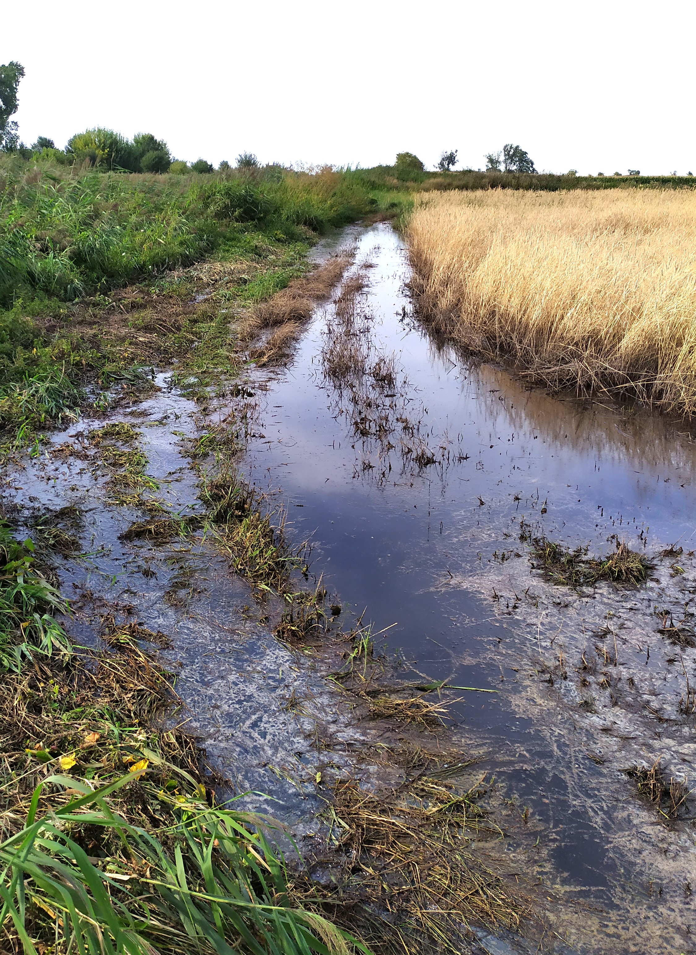
Conservationists and green experts have raised serious concerns about wildfire risk as well as the devastating impact on farmers facing another poor harvest. This follows one of the driest springs on record across Britain.
Met Office spokesman Stephen Dixon said Tuesday would likely mark "the peak of this current heatwave in terms of absolute temperatures we're expecting". He described it as "a continuation of recent days in the South East in particular, with those temperatures well beyond average for the time of year, in a fairly notable heatwave".
Cooler conditions approaching
However, Tuesday will also bring the start of a transition towards more average temperatures as a cooler, wetter front over Scotland and northern England gradually moves south-eastwards. The system is already bringing rain to parts of Scotland and will move southwards through the day and overnight.
Dixon said Wednesday will feel fresher for many, with temperatures more likely to reach the mid-20s and some showery rain, particularly along eastern coasts. Conditions will stay relatively dry throughout the week in the South, but the weekend looks more unsettled with frequent showers, particularly in western areas.
National Trust sounds alarm
Ben McCarthy, head of nature conservation and restoration ecology at the National Trust, warned that ranger and countryside teams are on high alert for fires. He said fires "can cause decades of damage to habitats, decimate ecosystems and result in significant losses to our wildlife".
McCarthy stressed that most fires impacting UK landscapes are started by people rather than natural causes. He urged the public to "act responsibly when outdoors as even a small spark can cause a fire, and to please call 999 if you see a fire or any suspicious behaviour".
Farmers face harvest fears
A survey of 300 farmers by the Energy and Climate Intelligence Unit (ECIU) found that more than four fifths say extreme weather has hit their productivity and three quarters have experienced financial losses. Crop condition remains poor following the exceptionally dry spring.
Tom Lancaster, ECIU land, food and farming analyst, said the quality of key arable crops such as wheat, barley and oats is well down on recent years. Conditions are particularly poor in northern England, which has experienced low rainfall levels with much of the region in drought.
Lancaster warned that many farmers are now looking towards this harvest "with real trepidation". He added: "For some, the weather in the coming weeks will determine whether they have anything worth harvesting at all."
(PA) Note: This article has been edited with the help of Artificial Intelligence.